Satellite data usage
Subprojects that make part of the Theme 'Satellite data usage'.
Combining optical and radar images for crop biomass monitoring (Subproject 1a)
In this project it is examined whether high quality biomass and yield maps of crops can be provided by combining optical satellite images with radar satellite images. Optical satellite data have proved to be useful for biomass monitoring of agricultural crops, but in northwest Europe cloud interference is the major problem for delivering of data with the required temporal resolution of ca. 10 days. The expectation is that radar data can fill the gaps in coverage with optical images. Therefore, a combination of optical and radar data provides a possible solution for a crop biomass monitoring system.
Project partners: NEO, AeroVision B.V., Wageningen University & Research, TU Delft.
Coordinating research institute: Wageningen University & Research: Frits van Evert (trekker) en Corné Kempenaar.
Crop biomass monitoring by smart combination of optical images from drones and satellites (Subproject 1b)
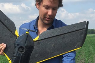
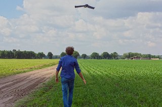
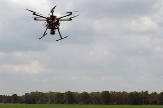
The research in this project focuses on improving the supply security and quality of crop biomass maps for precision farming purposes. The partners want to develop and validate a service based on remote sensing imagery, from satellites, RPAS, manual airplanes and other sources, that growers can rely on for timely delivery of good biomass maps throughout the season. The service will be based on smart combination of images from satellites on cloudless days and from drones with cameras on cloudy days. Part of this project is also the founding of a cooperative of stakeholders, i.e. producers, suppliers of images, and suppliers of services.
Project partners: AeroVision B.V., Wageningen University & Research, TerraSphere (Bioscope Partner).
Coordinating research institute: Wageningen University & Research: Frits van Evert (trekker) en Corné Kempenaar.
The 'Groenmonitor' for beet yield determination (Subproject 1c)
The aim of this project is to determine the relationship between satellite images of the 'Groenmonitor' and sugar beet yield. The Groenmonitor displays actual and historical satellite images of the vegetation in the Netherlands. For the unclouded parts of the satellite images the NDVI green index is calculated. The NDVI is an indicator for the amount of green biomass with a value between 0 and 1. The green index values can be used for yield prediction and crop management. Suiker Unie company is currently using a growth model to determine the expected sugar beet yield on a regional and national scale in the Netherlands. It is expected that by combination of the growth model with satellite observations the yield predictions can be improved.
Project partners: Suiker Unie, Wageningen University & Research
Coordinating research institute: Wageningen University & Research: Gerbert Roerink (trekker).
